
Geomagnetic Measurements— monitoring changes in the Earth’s magnetic field for the study of space weather and protection of infrastructure.
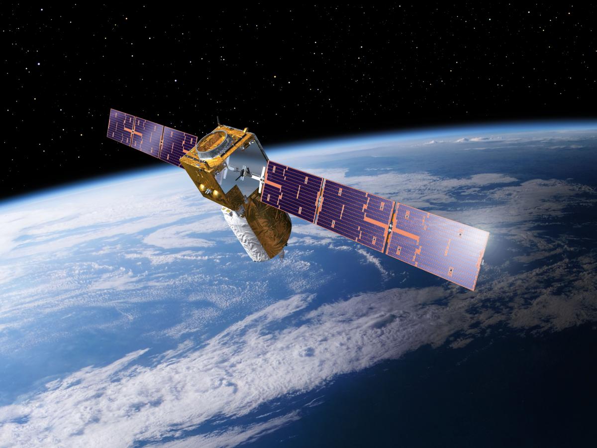
Aerospace Monitoring — the use of satellites and aerial platforms to acquire data on environmental conditions and conduct monitoring.
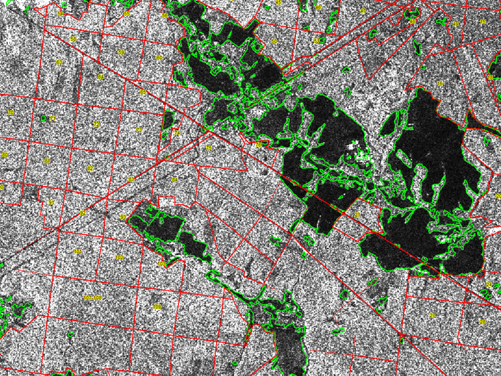
Remote Sensing Radar Data Processing — analysis and interpretation of Earth remote sensing radar data to detect objects and landscape changes.
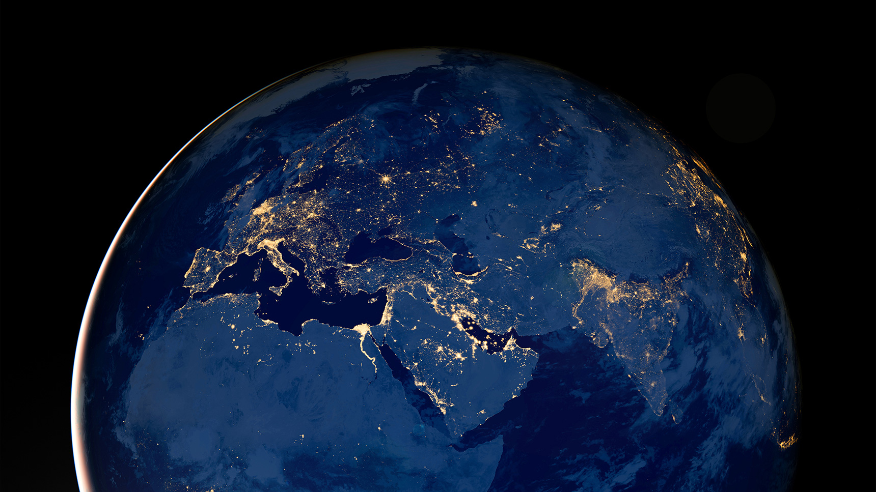
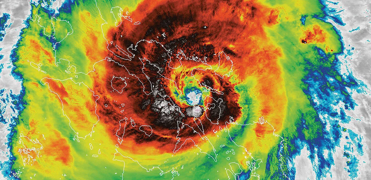
Space Imaging — the use of satellite technologies to obtain Earth images for monitoring natural and man-made phenomena.

Development of Geographic Information Systems (GIS) — сdesigning and managing GIS platforms that provide users with access to spatial data and analysis tools.
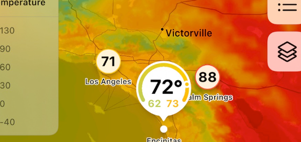
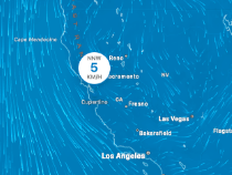
Cartographic Services — creation and maintenance of various types of maps (digital and paper) within geoservices, as well as interactive maps and user-facing solutions.
Geodesy and Topography — within geoservices, data on precise coordinates, topographic maps, and other measurements used to develop geospatial applications may be provided.
Thematic Projects — development of specialized maps and spatial data for various industries that can be utilized in geoservices to address specific challenges.